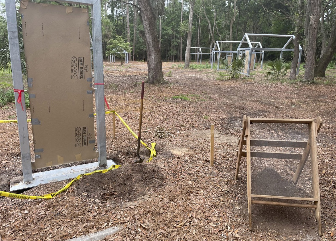
During the 2020-2021 Remote Sensing Historic Mitchelville: Connecting the Dots project, archaeologists located the echoes of Mitchelville era homes, roads, yards, and activities. The map they made using ground penetrating radar, magnetometry, and electrical resistivity surveys helped HMFP identify where Mitchelville homes were once located so they could reconstruct Ghost Structures atop of their exact locations. But because each structure is sitting on top of a real Mitchelville home space, before their installation, archaeologists needed to test areas that would be disturbed in the process. This project found 292 artifacts and several features spanning Native American to Mitchelville time periods. Full Collection coming soon.